
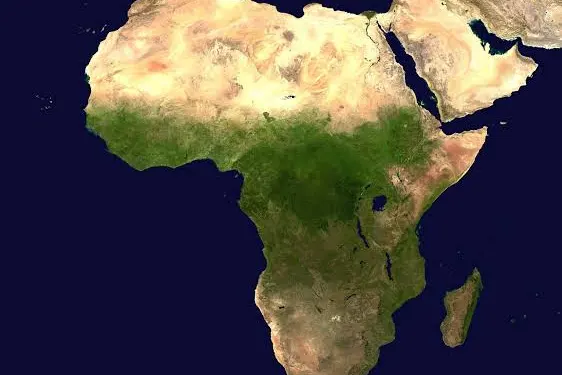
The United Nations has adopted the Equal Earth map projection in a move aimed at improving how the relative sizes of continents, particularly Africa, are represented on world maps.
The decision follows a vote at the UN General Assembly in which 164 countries supported the resolution. The United States voted against it, while six countries abstained.
The Equal Earth projection, introduced in 2018 by an international team of cartographers, is designed to show continents in proportions that are closer to their actual land areas.
The development is significant because the widely used Mercator projection has long been criticised for making countries and continents located farther from the equator appear considerably larger than they really are.
Under the Mercator system, regions such as Europe, North America and parts of Russia appear enlarged, while Africa and other areas close to the equator appear comparatively smaller. Greenland, for example, can appear similar in size to Africa on some Mercator maps despite being far smaller in actual land area.
The Mercator projection was created by Flemish cartographer Gerardus Mercator in 1569, primarily to assist sailors with navigation. Its ability to represent directions accurately made it particularly useful for maritime travel and eventually helped it become one of the world’s most familiar map projections.
However, the projection does not preserve the true size of landmasses. The distortion becomes increasingly pronounced toward the northern and southern extremes of the map.
Supporters of the Equal Earth projection argue that adopting a map that better reflects the actual size of continents could help correct long-standing misconceptions about Africa’s geographical scale.
The issue has also become part of wider efforts to challenge representations of Africa that campaigners believe have been shaped by historical colonial perspectives. The Correct the Map campaign, backed by organisations including Africa No Filter and Speak Up Africa, has pushed for greater use of maps that accurately portray the continent’s size.
Despite its advantages, the Equal Earth projection is not completely free from distortion. Like every flat representation of the Earth, it involves compromises involving shape, distance, direction or area because the planet is spherical.
Other projections, including the Gall-Peters, Robinson and Winkel Tripel maps, have also been developed to address some of the limitations of the Mercator system.
The UN’s adoption does not legally require countries to abandon the Mercator projection, as General Assembly resolutions are generally non-binding. However, the decision could influence the maps used in schools, educational materials and digital platforms.
The move therefore represents more than a technical change in cartography. Supporters see it as an opportunity to provide a more balanced visual understanding of the world’s geography and to give Africa a more accurate representation of its enormous landmass.


